
Service overview
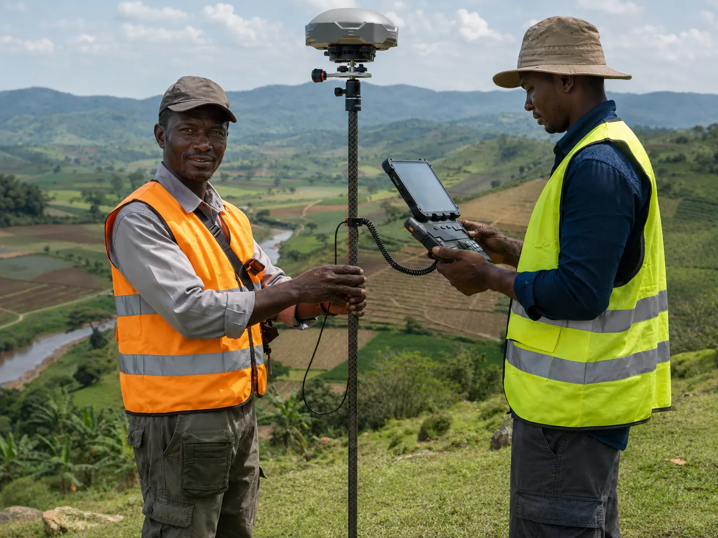
IGREC combines GIS mapping with research design and field data. We map people, firms, facilities, parcels, markets, services, risks, and programme coverage.
Direct answer
GIS mapping services connect research data to place. IGREC captures coordinates, validates locations, builds spatial datasets, and produces clear maps. Clients use the evidence for sampling, logistics, targeting, exposure analysis, and policy planning.
Programmes and researchers needing location intelligence for sampling, fieldwork, targeting, exposure, or analysis.
Tailored support
A service designed around the decision and field reality.
The scope connects research questions, methods, participants, operations, quality controls and final use.

Decision valueWhat this service helps you decide
Location affects access, exposure, markets, risk, and programme delivery. However, raw GPS points can contain errors, duplicates, or sensitive information. A research-grade GIS workflow must protect both accuracy and privacy.
IGREC defines the spatial question before collecting coordinates. We set accuracy rules, location types, capture conditions, and privacy controls. Additionally, we document projections, boundaries, spatial joins, and derived measures.
Expected outcomesWhat IGREC delivers
- Verified spatial data linked to research records.
- Clear maps of programme reach and geographic gaps.
- Better field routes and sample coverage control.
- Measures of distance, density, proximity, or exposure.
- Privacy-aware maps for reports and decision-making.
Best suited toWho this service supports
This service supports urban planning, agriculture, WASH, health, education, climate resilience, market systems, land governance, humanitarian response, infrastructure, and survey research.
How IGREC delivers the service
A controlled process from mobilisation to handover.
01Define the spatial unit.
We specify points, routes, polygons, buffers, administrative areas, or service catchments.
02Set capture standards.
We configure devices, accuracy thresholds, coordinate rules, and offline procedures.
03Collect and validate.
Teams capture locations while dashboards flag missing, repeated, or implausible points.
04Build spatial indicators.
We calculate distance, access, clustering, coverage, and exposure measures.
05Communicate through maps.
We produce technical layers and simple visuals for non-technical users.
Typical deliverables
A documented handover your team can use.
- GIS data collection protocol
- Coordinate and location dataset
- Coverage and quality-control maps
- Spatial indicators and analysis files
- Publication-ready maps
- Metadata and data dictionary
Why clients choose IGREC
Rigour connected to local implementation knowledge.
IGREC integrates mapping into the research workflow. IDs, locations, survey records, and field assignments connect cleanly. Therefore, teams avoid separate spatial files that cannot be reconciled later.
We also apply disclosure controls. Public maps can aggregate or mask sensitive locations while secure analytical files preserve required precision.
Relevant IGREC experience
Evidence from related assignments.
IGREC's portfolio includes geospatial mapping of business clusters, location-sensitive research on urban flooding, land-parcel data, market competition, and refugee mobility. These studies show how geography can change both exposure and outcomes.
Related project
Clustering at the Business Level: Micro-Firm Markets and Innovation
Explore Clustering at the Business Level: Micro-Firm Markets and InnovationRelated project
Impact of Urban Flooding on Businesses in Kampala
Explore Impact of Urban Flooding on Businesses in KampalaRelated project
Improvement of Land Governance in Uganda
Explore Improvement of Land Governance in UgandaRelated project
Improving Refugee Welfare and Integration
Explore Improving Refugee Welfare and IntegrationFrequently asked questions
Practical answers before scoping begins.
Can IGREC map locations without mobile internet?
Yes. We can configure offline basemaps, cached assignments, device storage, and later synchronisation.
How accurate are phone GPS coordinates?
Accuracy varies by device, environment, and capture time. IGREC sets thresholds and records accuracy metadata.
How do you protect sensitive locations?
We restrict access, separate identifiers, apply aggregation or displacement, and control what appears in public outputs.
Request this service
Add location intelligence to your evidence
Tell IGREC what must be mapped and why. We will design a GIS workflow that supports fieldwork, analysis, and responsible communication.
Related research capability
Build an integrated service scope.
Survey & market data
Market Listings
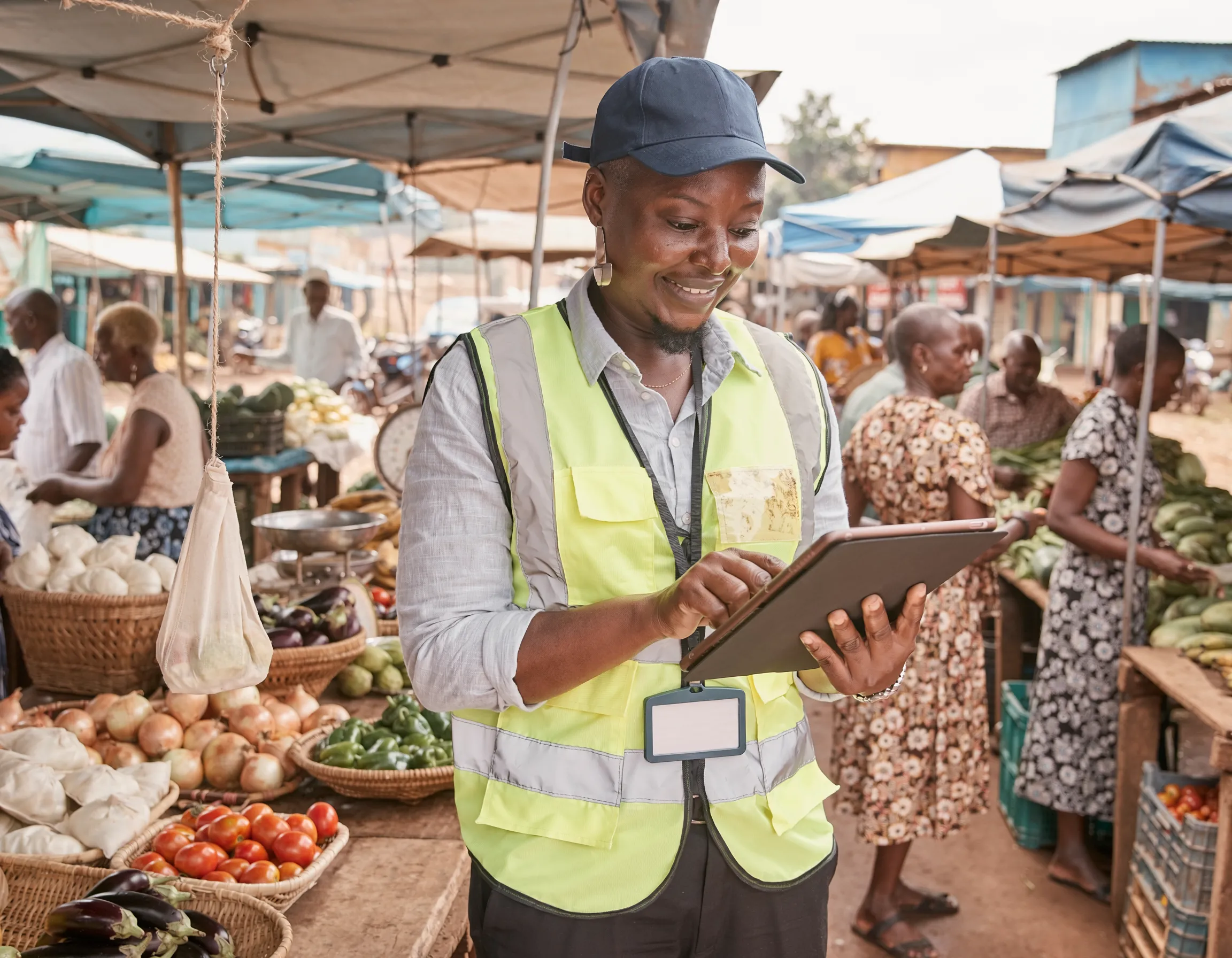
Market listing services identify and verify eligible units within a defined area or sector.
Explore this service
Data systems & analysis
SurveyCTO Programming
SurveyCTO programming services convert research instruments into secure digital forms.
Explore this service
Data systems & analysis
Statistical Analysis
Statistical analysis services transform collected data into estimates, comparisons, trends, and tested relationships.
Explore this service